Ariel Mapping System

Aerial imaging solution
INTEL FALCON 8+ DRONE
- Configurable for inspection and mapping
- Use multiple sensors simultaneously
- Resistance to magnetic inference
- Operational in windy areas
- Low noise, Emission-free operation.
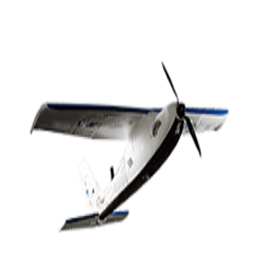
SIRIUS pro
- Send a custom flight plan to Sirius pro with MAVINCI software , then simply hand –launch the unmanned aircraft system
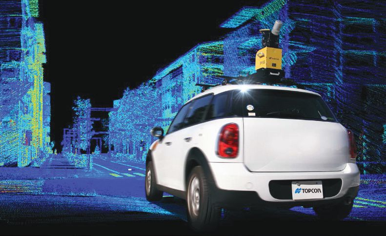
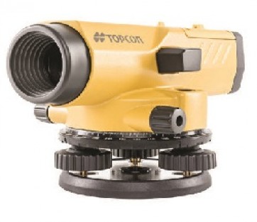
IP-S3 HD1
- Easy pointing setup
- Ultra –compact and light weight design
- High-speed and high density point cloud acquisition
- Portable carrying case for high security
- Efficient for mapping and GIS data updating
- World first play back function to check and review acquired data.
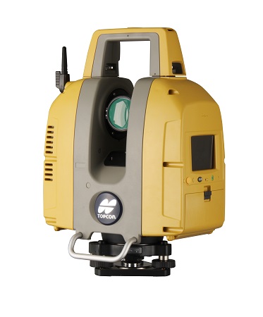
Compact and lightweight multi-adjustable laser scanner
- Selectable laser models from class 3R and class 1M
- Multiple lens array system-quicky switches focal length setting
- Auto-temperature adjustment
- Precise scan technology – signal processing including wave form for ultimate in precise data

.jpg)